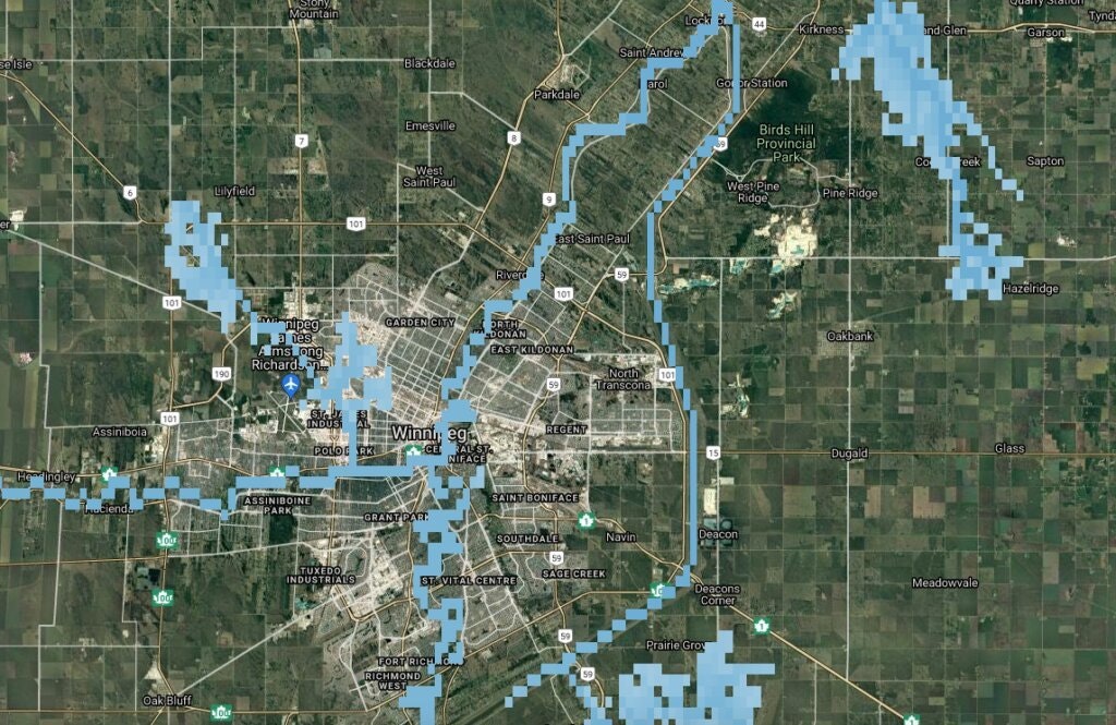
Water depths in a 100-year flood for Winnipeg are 2 meters higher than regular flow. (Image courtesy of floodmapviewer.com)
A Western University flood-control expert has developed the first Canada-wide maps showing how floodplains — including low-lying areas of major cities like Vancouver and Montreal — may become inundated in the next 80 years under various climate change scenarios.
About 4 million...