Groundwater Flow to Colorado River May Decline by a Third over Next 30 Years

First model of “baseflow” reflects possible climate change conditions

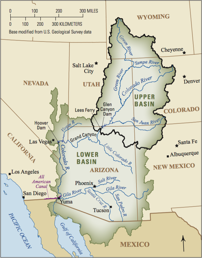
A map of upper and lower Colorado River basins with major rivers and cities. The map also shows upper Colorado River basin outlet at Lees Ferry, Arizona. (Image courtesy of USGS)

new study projects that...

Please login or register to view MSW articles. It's free, fast and easy!


Discussion

Comments on this site are submitted by users and are not endorsed by nor do they reflect the views or opinions of COLE Publishing, Inc. Comments are moderated before being posted.