Interested in Infrastructure?
Get Infrastructure articles, news and videos right in your inbox! Sign up now.
Infrastructure + Get AlertsVisual data is essential to making informed maintenance and rehabilitation decisions about your wastewater system.
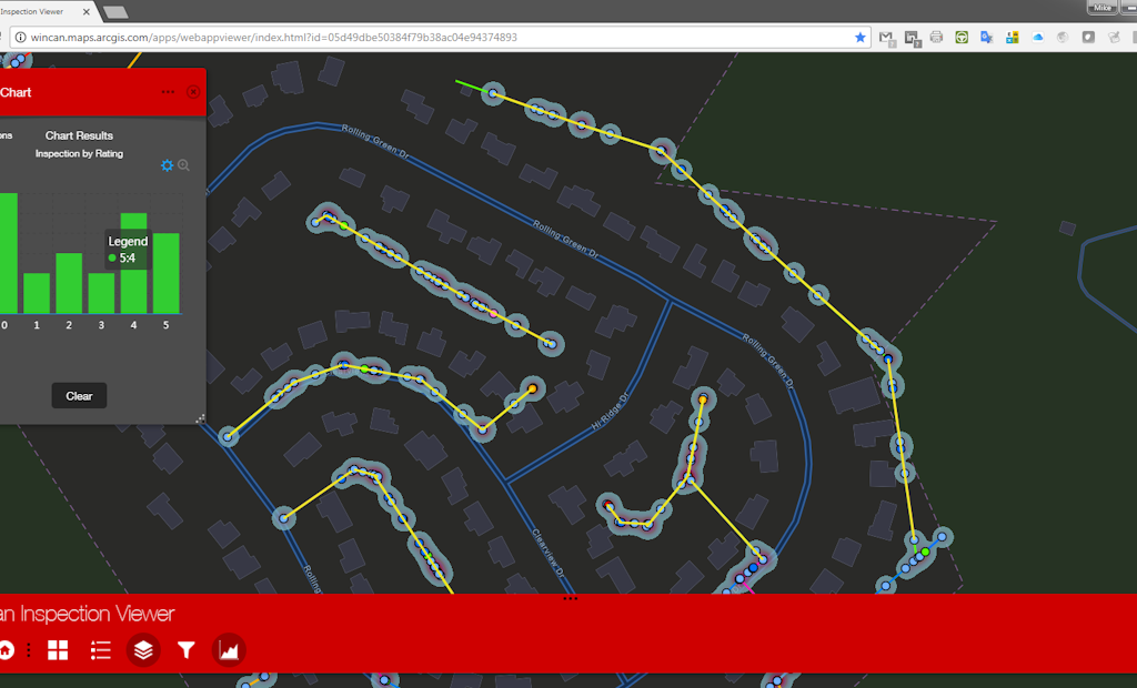
WinCan offers flexible GIS integrations, including Esri’s ArcGIS and WinCan Maps, allowing you to transfer data between platforms with the click of a button, and build a comprehensive visual map that reflects every detail of your system.
To learn more about WinCan VX and its GIS integrations, request a free demo and speak with one of our experts today:
Visit the WinCan Storefront


