Interested in Infrastructure?
Get Infrastructure articles, news and videos right in your inbox! Sign up now.
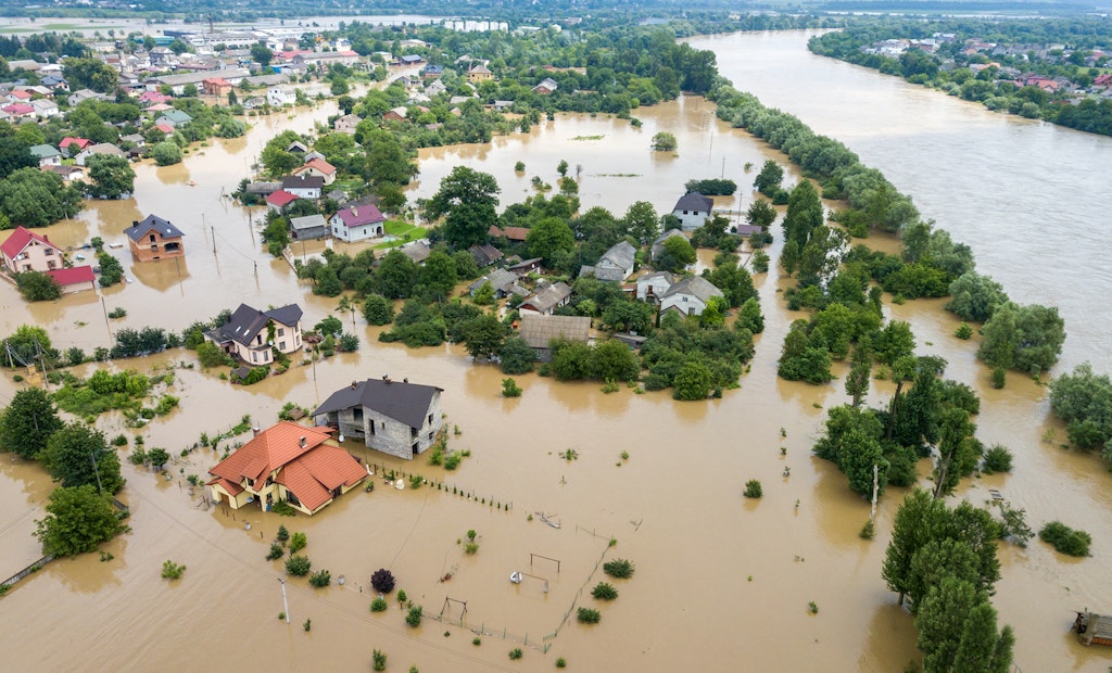
Infrastructure + Get AlertsFloods pose severe threats to wastewater systems, including backups and overflows, pipe cracks and leaks, and power outages.
Building up your system’s resilience to floods and other natural disasters requires a comprehensive understanding of its condition, following a preventive maintenance plan to inspect every line and address issues proactively.
The EPA suggests a four-step process to approaching flood resilience: understanding the threat; identifying vulnerable assets and determining consequences; identifying and evaluating mitigation measures; and developing a plan to implement the mitigation measures.
WinCan integrates with a variety of asset management platforms, including Esri’s ArcGIS, which can be used to create a comprehensive map of any wastewater system, combined with inspection data for a thorough visual representation of systemwide condition.
This visual allows wastewater operators to easily identify cluster areas on the map in need of rehab or repairs that are more likely to fail from a flood or other natural disaster, and then begin formulating a plan to address them proactively.
To learn more about WinCan VX and its integrations, including Esri ArcGIS, schedule a free demo:
Visit the WinCan Storefront


