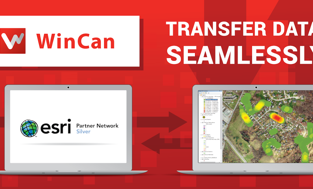
The integration between WinCan sewer inspection software and Esri ArcGIS mapping and analytics is bidirectional — meaning data can transfer seamlessly from one platform to another. It makes it easier than ever to understand systemwide condition and identify maintenance needs.
- Prepopulate inspections with data residing in GIS
- Navigate, annotate and edit maps
- Build heat maps according to defect type or severity
- Monitor per-crew progress graphically with color-coded indication
Finally, publish data to ArcGIS online in cooperation with WinCan Web. Visibility, from start to finish.
Visit the WinCan Storefront


