Filed Under
Sign Me Up!
Join your colleagues who already get great content delivered right to their inbox.
Sign up Digital!
If you don't want to bring your iPad into the bathroom, we can send you a magazine subscription for free!
Subscribe to Print!
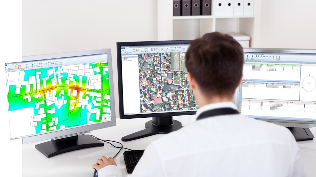
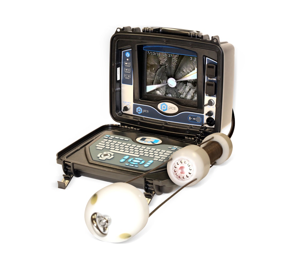
When integrated with Esri’s ArcGIS platform, WinCan VX sewer assessment software allows for navigation and analyzing of inspection data using a rich GIS interface.
WinCan VX sewer assessment software
When integrated with Esri’s ArcGIS platform, WinCan VX sewer assessment software allows for navigation and analyzing of inspection data using a rich GIS interface. Map features can be linked to section and defect information, or a tabular record...