Interested in Flow Control?
Get Flow Control articles, news and videos right in your inbox! Sign up now.
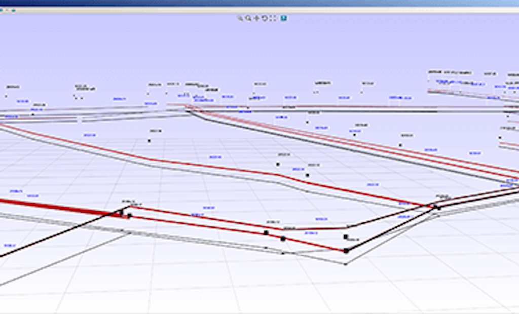
Flow Control + Get AlertsNot only is precise mapping of a municipality’s underground assets important for maintenance and inspection purposes, it can help avoid cross bores from directional drilling. The challenge is that municipalities can’t count on as-built plans for accurate mapping of underground assets. In the past, municipalities have relied on locators or on digging up pipes to get a visual. Both of these solutions can prove inefficient and sometimes inaccurate. Increasingly, municipalities are deploying geospatial probes, special sensors that are capable of tracking their position in 3-D space using a technology called inertial navigation. The data provided by these sensors can be read by WinCan’s 3DGS Scan module to create in real-time a virtual 3-D computer model of underground assets.
Geospatial technology
Geospatial probes work off the same technology that ships, aircraft, submarines, guided missiles and spacecraft use to achieve real-time position tracking. These probes contain accelerometers and other motion-sensing components to record their acceleration, velocity and position in XYZ coordinates over time. The advantage of this technology is that it requires no external references in order to determine position.
Geospatial probes
When attached to sewer equipment, a geospatial probe provides real-time, accurate positional data as its host moves through a sewer line. These probes are ideal for locating and mapping water pipelines, gravity sewers, pressure sewers (force mains), and other environmental and industrial pipes. The positional data is recorded as an array of XYZ coordinates. WinCan’s 3DGS Scan module imports those coordinates, along with video and observations from the inspection. This data is then used to render a 3-D depiction of the pipe in real time as the inspection system moves through it. Back in the office, an engineer can use the post-inspection report to view a 3-D depiction of the inspected assets on a map, or export the geometry to a CAD or GIS platform for further analysis.
Request a demo to learn more about WinCan's 3DGS Scan module.


