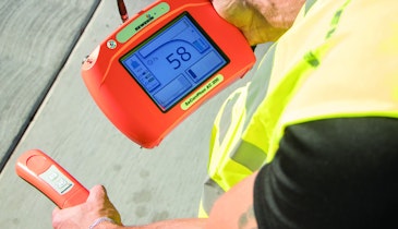
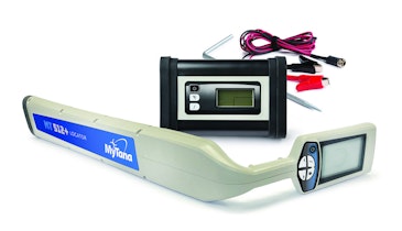
The VM-MAP application from Vivax-Metrotech allows for the real-time mapping of buried utilities. Mobile devices can pair with utility locators via Bluetooth with no trailing cables, allowing them to store depth of cover, GPS coordinates and the distance between locates. This data can then be downloaded or emailed to a PC for analysis. It is compatible with Google Maps, asset management and GIS software. Real-time generated maps ensure that the data is accurate. The location data is obtained from either the mobile phone’s internal GPS, the utility locator’s integrated GPS or an external GPS device of choice. Additional site data such as notes and photographs can be manually inputted as the log is created. The application is compatible with iOS and Android devices and available at the Apple Store or Google Play. 800/446-3392; www.vivax-metrotech.com.
Mapping - Vivax-Metrotech VM-MAP
Related Stories
Discussion
Comments on this site are submitted by users and are not endorsed by nor do they reflect the views or opinions of COLE Publishing, Inc. Comments are moderated before being posted.


