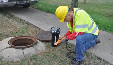
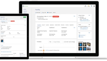
DiamondMaps.com from Benjamin A. Hill is a cloud-based GIS for water and wastewater utilities. It is designed for smaller departments that are looking for a simpler solution to keep track of their assets in the field. It allows them to import shapefiles or start drawing features from scratch; take pictures in the field, mark them up and attach them to the map feature for everyone else to view; log maintenance notes for each asset; track the GPS location; email maps to contractors; do editing in the field; measure distances and areas; browse, sort, and search data in rows and columns; and customize layers with special fields like pick lists and formulas. It includes background layers of aerial photography, roads, street view and more provided by Google Maps. There is no software to install or maintain, as all that’s required is a PC, tablet or phone and an internet connection. 317/797-6824; www.diamondmaps.com.
GIS GPS - Benjamin A. Hill DiamondMaps.com
Related Stories


Discussion
Comments on this site are submitted by users and are not endorsed by nor do they reflect the views or opinions of COLE Publishing, Inc. Comments are moderated before being posted.