Order Digital Reprints
Want a PDF of this article as it appeared in print?
Order Here!
Sign Me Up!
Join your colleagues who already get great content delivered right to their inbox.
Sign up Digital!
If you don't want to bring your iPad into the bathroom, we can send you a magazine subscription for free!
Subscribe to Print!
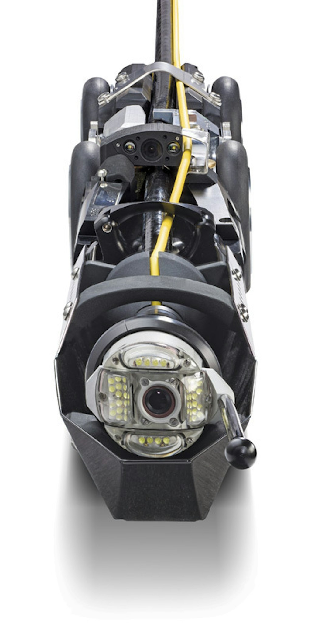
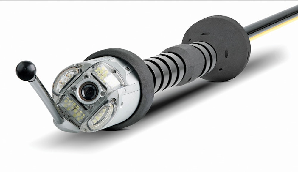
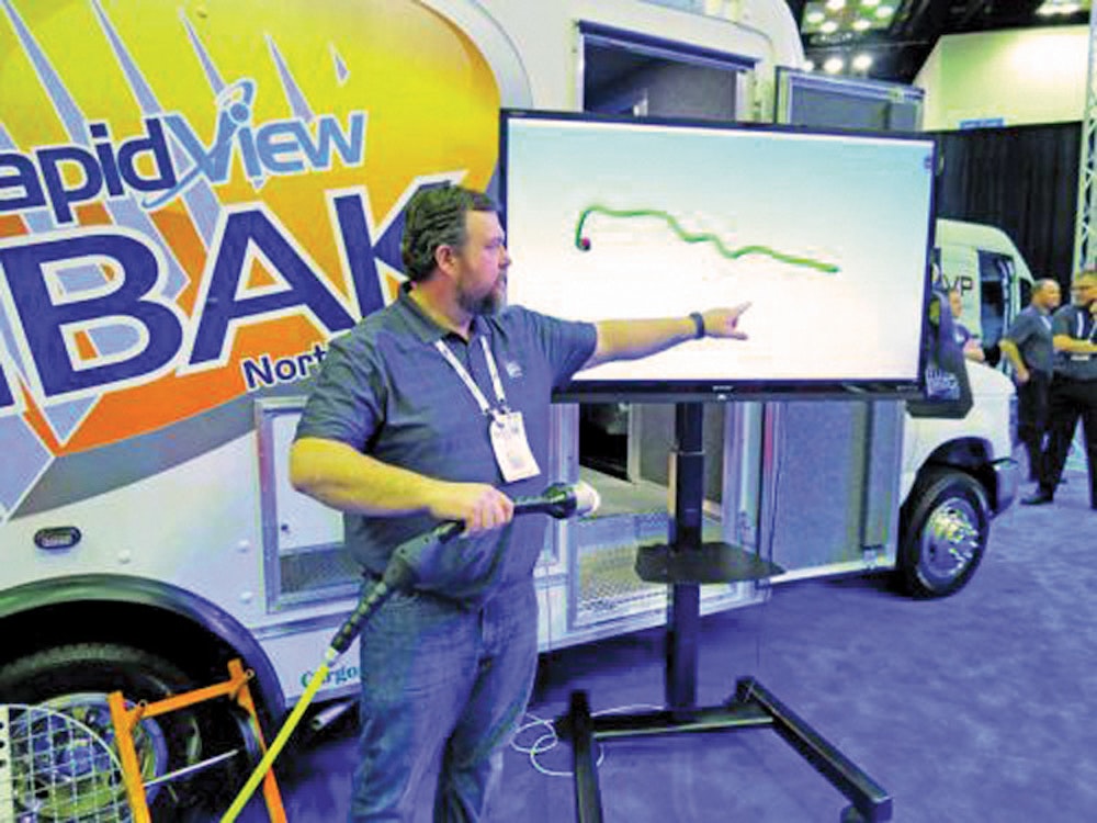
Getting a clear picture of underground assets has always been difficult. As-built plans and paper inspection records are often incomplete or inaccurate, and locating buried lines is labor intensive.
For years, the best way to map wastewater infrastructure has been a sonde and...