


Order Digital Reprints
Want a PDF of this article as it appeared in print?
Order Here!
Sign Me Up!
Join your colleagues who already get great content delivered right to their inbox.
Sign up Digital!
If you don't want to bring your iPad into the bathroom, we can send you a magazine subscription for free!
Subscribe to Print!
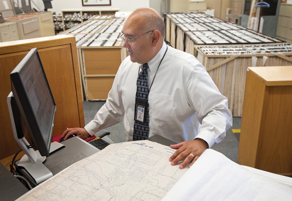
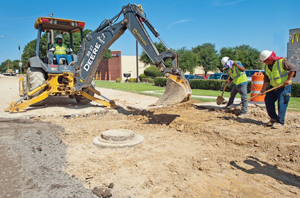
The Arlington (Texas) Water Utilities Department has always been an early adopter of technology. In the mid-1990s, the department launched a project to electronically catalog the entire sanitary sewer and water system.
But what began as a simple mapping project has blossomed...